The National Weather Service has issued a lake effect snow warning for Madison County, effective from 8:13 p.m. on Wednesday until 1 p.m. on Thursday. Residents are urged to prepare for 6 to 10 inches of snow in localised snow bands that could create hazardous conditions across the county. The warning also affects Onondaga County, where similar accumulations are expected.
The service has highlighted that theheavy snowcould impact the Thursday morning commute and advised drivers to take precautions if travel is necessary. 'Plan on slippery road conditions. Keep an extra flashlight, food, and water in your vehicle in case of an emergency,' the advisory reads.
According to theofficial statement, Madison and Onondaga counties are forecast to receive the heaviest snowfall, with total accumulations ranging from 6 to 10 inches. Localised lake effect snow bands may result in some areas seeing the higher end of the forecasted totals.
Lake Effect Warnings: Onondaga & Madison Counties (NY) could see up to 10" by Thursday afternoon. Advisories: Surrounding areas up to 6-7". Elsewhere: 1-3" for Central NY & Northern PA; flurries south to Scranton/WB.#nywx#PAwxpic.twitter.com/K4VT2cOwxz
Other central New York counties remain under winter weather advisories. Cortland, Southern Cayuga, and Tompkins counties are expected to see between 3 and 7 inches of snow before the advisory expires at 1 p.m. on Thursday. Oswego, Jefferson, and Lewis counties are anticipating lighter snowfall, with 2 to 5 inches expected under advisories valid until 1 a.m. on Thursday.
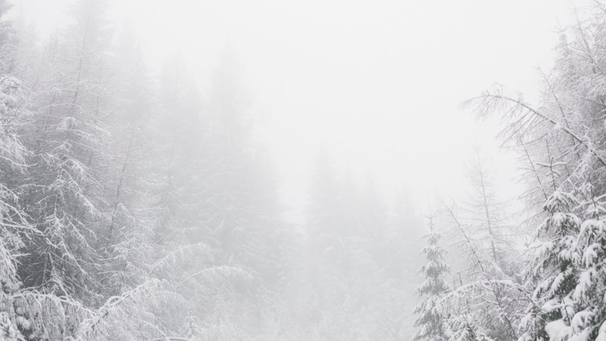
Drivers are warned that slippery roads and poor visibility may make travel hazardous, particularly during peak commute hours on Thursday morning. Blowingsnowin areas such as Syracuse has already created near-whiteout conditions, and motorists are being urged to monitor 5-1-1 for the latest road conditions.
Authorities advise residents to delay travel where possible. Those who must travel are encouraged to maintain safe distances from other vehicles and carry essential supplies. The National Weather Service has emphasised that localised snow bands may result in sudden changes in visibility and road conditions.
Lake effect snowoccurs when cold air moves over relatively warmer lake waters, picking up moisture and depositing it as snow on land. This phenomenon typically creates heavy, concentrated snowfall over limited areas, often resulting in higher totals than surrounding regions.
@NWSBinghamtonnow has Onondaga & Madison Counties under Lake Effect Snow Warnings until 1 PM Thursday.As@PeteWeatherBeat& I have been saying since 5 PM Wednesday roads will be greasy & slippery while driving now -> Thursday AM.A few WHITEOUTS can also be expected tonight!pic.twitter.com/WzOp0oyEcF
In central New York, the combination of cold temperatures and moisture from nearby lakes has contributed to the formation of these localised snow bands. The weather service notes that snow may continue in bursts throughout Wednesday night and into Thursday afternoon.
Source: International Business Times UK