Severe thunderstorms and tornadoeshave swept across the central United States on 10 March, leaving damaged homes, closed roads, and tens of thousands without power as the storm system continues moving east. Several counties issued emergency declarations.
As the storm shifted east overnight, authorities warned of continued risks including flash flooding and further tornado activity. Meteorologists said more than 55 million people remained under severe weather alerts stretching from Texas and Louisiana through to Pennsylvania.
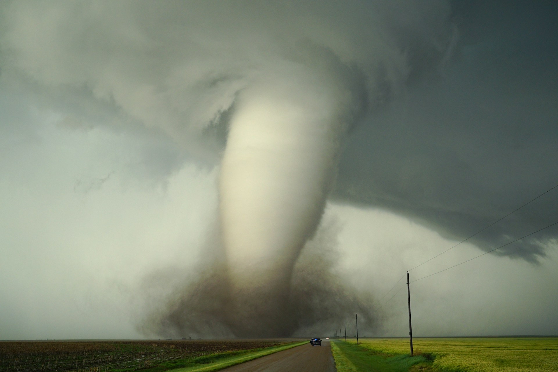
Dangerous stormsmoved across the central United States from Tuesday night into Wednesday morning.The weather systemproduced tornadoes, large hail, and damaging winds across several states.More than 70,000 customers were left without power, with about one third of outages reported in Texas.
Storms stretched from Texas north through the Great Lakes region during the overnight hours. As the system shifts east on Wednesday, the primary risks include flash flooding and strong winds. Authorities continue to monitor the storm system as it affects large areas of the country.
A tornado tracked through the Kankakee area of Illinois on the evening of 10 March 2026. In response, the Kankakee County Sheriff's Office activated its Emergency Operations Center and filed an emergency declaration with the state of Illinois. Officials reported no immediate deaths or missing people after the tornado passed through the area.
Kankakee Mayor Christopher W. Curtis confirmed that seven people sustained minor injuries during the storm. Several homes and commercial buildings were damaged in the area. Multiple roads remain closed due to fallen trees and downed power lines.
Drone footage showed emergency crews moving through neighbourhoods during the night. Crews walked through debris and fallen lumber while inspecting damaged houses. The footage showed search teams using flashlights while examining structures affected by the storm.
Earlier the same evening, thestorm system produced another tornado near Pontiac, Illinois. The supercell thunderstorm continued travelling east for more than two hours across central Illinois and northern Indiana. During this period, the storm triggered the highest level of tornado warning, known as a Tornado Emergency, in Knox, Indiana.
The same storm produced extremely large hail during its path across Illinois. Hail measuring more than five inches in diameter fell just south of Kankakee. Meteorologists said this measurement could set a new state record for Illinois.
Other regions reported significant hail and strong storms as the system moved across the country. Chicago recorded hail roughly the size of half-dollar coins during thunderstorms. In the Kansas City metropolitan area, hail measuring up to 3.5 inches in diameter was reported.
Source: International Business Times UK