Widespread GPS jamming has left over 1,000 cargo ships, oil tankers and other vessels in the Gulf and Gulf of Oman unable to determine their exact location since the start of US‑Israeli-Iran war last week.
Experts say the problem is worse than many realise, with most ships relying on outdated GPS systems that cannot tap into modern satellite networks like Galileo or BeiDou.
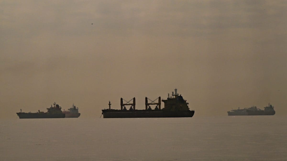
The majority ofaffected vesselsare located off the coasts of the United Arab Emirates (UAE) and Oman, raising concerns about navigation safety in one of the world’s busiest maritime regions.
ALSO READ:37 Indian-Flagged Ships With Over 1,100 Seafarers Stranded Near Hormuz Amid West Asia Tensions
Many ships still depend on the original civilian GPS signal, known as the L1 C/A band, which has been in use since the 1990s.
“Most ships are unable to rely on alternative satellite systems in the event that GPS is jammed," Todd Humphreys, an engineering professor at the University of Texas at Austin, told news agency AFP.
Unlike smartphones, which use multiple frequencies and satellite networks, ships’ navigation systems are relatively basic, leaving them vulnerable to signal interference.
“You will not find any aircraft flying in the world today whose built-in GPS receiver is capable of tracking and interpreting signals other than the GPS L1 C/A. So it’s out of date by 15 years," Humphreys added.
Jamming a GPS signal is “not that complicated," according to Katherine Dunn, author of Little Blue Dot. A stronger radio signal on the same frequency can effectively create a “wall of mush," disrupting navigation.
More sophisticated spoofing techniques can manipulate a ship’s Automatic Identification System (AIS), making vessels appear in false locations on tracking maps, sometimes even on land.
Source: World News in news18.com, World Latest News, World News