What many described as the Iran conflict now in India’s backyard, the sinking of Iranian ship IRIS Dena in the Indian Ocean has become a significant flashpoint in the ongoing West Asia conflict.
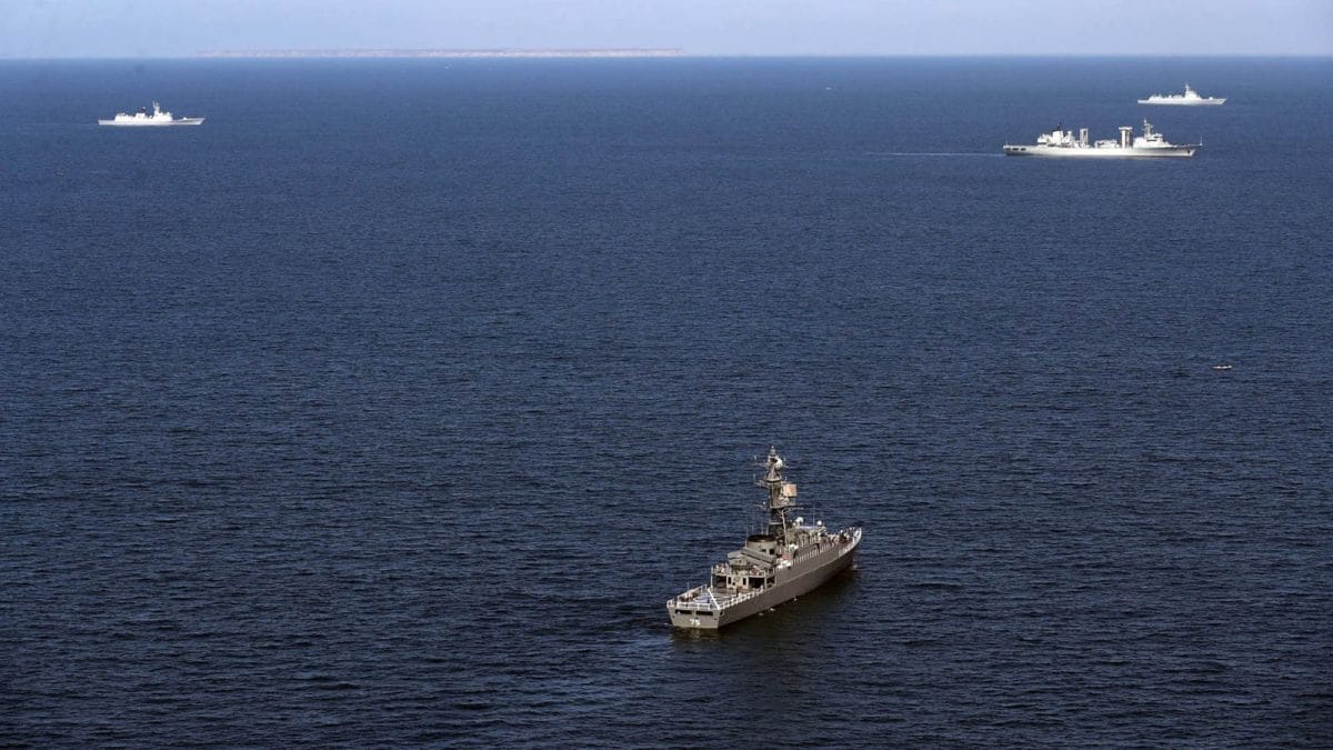
TheIRIS Dena, which was returning to Iran after an Indian naval exercise off Visakhapatnam in Andhra Pradesh, was torpedoed by an American submarine in an unprecedented military escalation on Wednesday (March 4).
This encounter represents the first time since World War II that the United States used a torpedo to sink an enemy vessel, which resulted in a devastating loss of life and triggered a complexsearch-and-rescue missionled by the Sri Lankan Navy. While Iranian officials reported approximately 130 people were on board, Sri Lankan authorities estimated the figure to be closer to 180.
The Sri Lankan Navy recovered 87 bodies while 32 survivors were treated for injuries in Galle. Defence Secretary of the US, Lloyd Austin reportedly described the torpedo strike as a“quiet death".
Iranian foreign minister Abbas Araghchi denounced the strike as an illegal “atrocity at sea", saying the IRIS Dena was a“guest of India’s Navy"and was attacked without warning in international waters.
Araghchi issued a warning to the US, saying Washington will “bitterly regret" the precedent set by this action. The situation remains volatile as a second Iranian vessel, theIRIS Bushehr,carrying at least 300 crew and cadets, was spotted just outside Sri Lankan waters. This prompted emergency meetings between President Anura Kumara Dissanayake and top officials over Iran’s request for the ship to enter the safety of the island’s jurisdiction.
But, what does this mean? It is essential to examine how maritime boundaries are defined by the United Nations Convention on the Law of the Sea (UNCLOS). They are best understood as a gradient where a country’s control diminishes the further one travels from the shore.
ALSO READ | New Shield At Sea: Will US Start Insuring India’s Oil Lifeline After Torpedoing Iranian Ship?
Known as the “sovereign zone", territorial waters form the most restrictive maritime zone extending up to 12 nautical miles (approximately 22 km) from a nation’s baseline.
Under international law, this area is considered an extension of the country’s land territory. The coastal state possesses full jurisdiction over the water column, seabed, and airspace above it.
Source: World News in news18.com, World Latest News, World News