By Thursday afternoon the maps already looked surreal.
Great swathes of the United States were washed in warning pinks and purples,winter storm alertsstacked one on top of another from the High Plains to New England. More than 125 million people – not far off half the country – sat under some form of advisory. And the storm that triggered it all had not quite arrived.
What is bearing down on the US this weekend is not your garden‑variety cold snap. It is a 1,500‑mile conveyor belt of snow, ice and Arctic air that forecasters say could be one of the most extreme and geographically widespread winter events in years.
At its heart, this is a collision of two things America knows well: a classic cross‑country winter system, and an unusually vicious plunge of air straight from the Arctic.
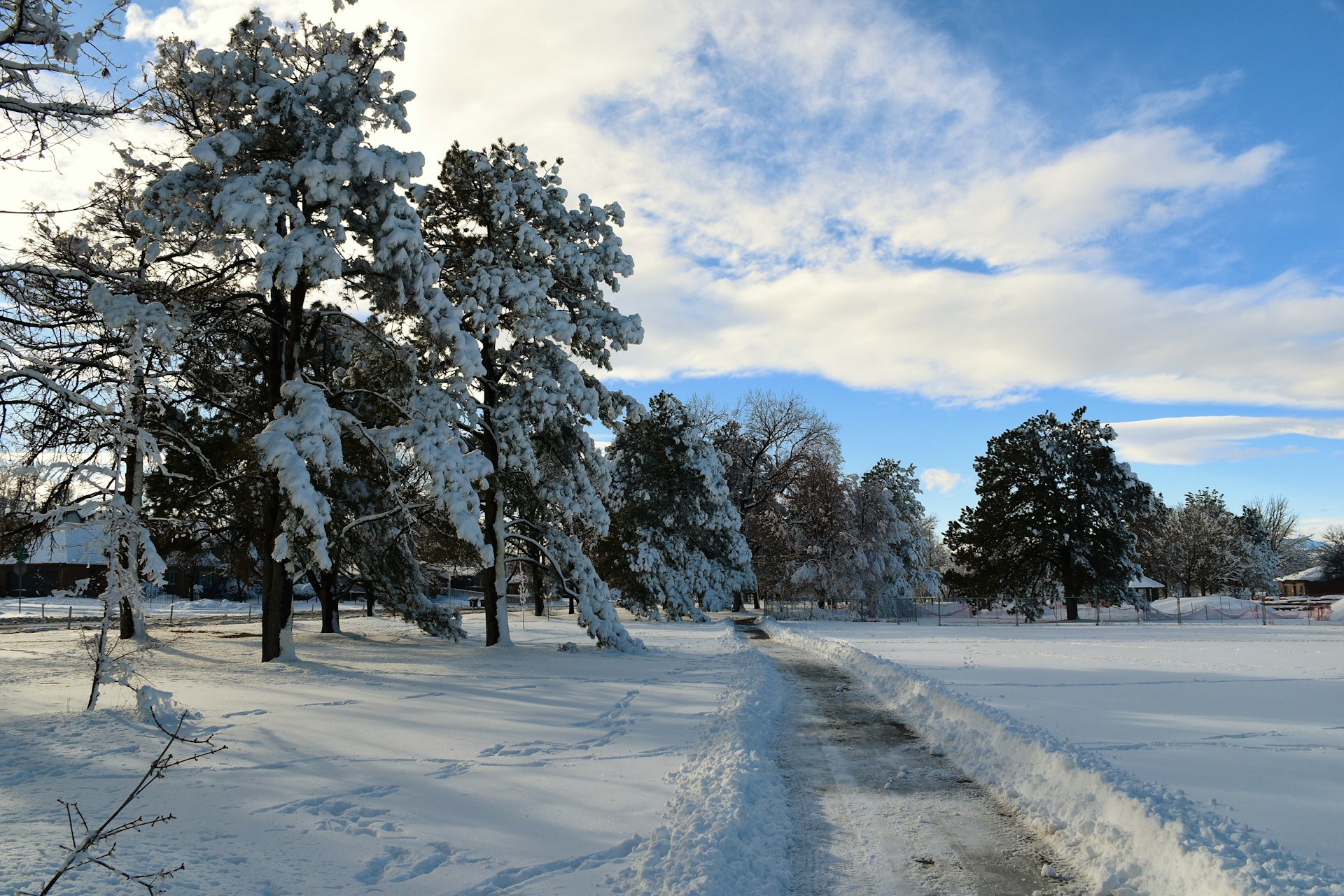
On its own, the storm would already be notable. Snow, sleet and freezing rain are forecast to run in a band from northern Texas and Oklahoma across the lower Mississippi and Tennessee valleys, up through the mid‑Atlantic and into the north‑east. The zone of wintry precipitation could stretch for more than 1,500 miles – the distance from Dallas to Boston – disrupting travel on roads and in the air along almost its entire length.
Layered on top of that is the cold.
Meteorologists talk about "modified Arctic air" all the time: chilly, sure, but tempered by its journey south. This blast is the more brutal version. By Friday, temperatures in much of the Midwest and Plains are expected to run 30 degrees Fahrenheit (about 17C) below seasonal norms – during the period of the year that is already, on average, the coldest.
That matters in practical, miserable ways. Snow and ice will accumulate more quickly on roads and pavements, and stay there. Grit and de‑icing chemicals become less effective the further the mercury falls. For anyone who loses power, homes that might muddle through a typical outage can turn dangerously cold in a matter of hours.
The timing is ugly. Snow and ice begin to develop over the central and southern Plains on Friday as the storm intensifies. By Saturday, the mess is expected to extend from Oklahoma and north Texas across to the Carolinas and Virginia. The north‑east then joins in early Sunday, with wintry conditions likely to persist into Monday.
Forecasters warn that the precise track of the low pressure system – and how cleanly it meshes with the deep cold – is still being refined. A wobble of 50 or 100 miles north or south will mean the difference between rain, slush and a crippling ice glaze for individual cities. But the broad strokes are now clear enough that governors are no longer waiting.
Source: International Business Times UK