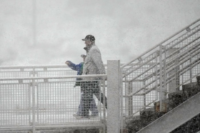
FORT COLLINS, Colo. (AP) — A late spring snowstorm picked up over parts of Colorado on Wednesday, closing schools, delaying flights and creating slushy conditions for commuters.
The storm, which swept over the Rocky Mountains and into the High Plains on Tuesday, was expected to weaken before wrapping up Wednesday afternoon, but not before leaving some heavy, wet snow in higher elevations.
A winter storm warning was in effect through the afternoon, with an additional 2 to 4 inches (5 to 10 centimeters) of snow expected in Fort Collins, Boulder, the Denver metro area and Castle Rock, the National Weather Service said.
“We expect roads to be slick during heavier snow showers, but for the lower elevations, any road accumulations will melt quickly as snow showers subside,” the weather service office in Denver posted online Wednesday.
Storm leaves more than a foot of snow in parts of Colorado
The small mountain town of Jamestown, Colorado, near Boulder recorded 16.3 inches (41.4 centimeters) of snow as of early Wednesday, the weather service said. Estes Park, near Rocky Mountain National Park, reported 17 inches (43 centimeters) of snow as of Tuesday night.
City officials in Boulder, which got nearly 6 inches of snow (15 centimeters) as of the end of the day Tuesday, advised residents of downed trees and branches, encouraging them to avoid being under or close to those with heavy snow accumulation.
Denver was facing what may be its biggest snowfall of the season. The Denver International Airport, which experienced some delays and cancellations early Wednesday, recorded 3.7 inches (9.3 centimeters) of snow by 2 a.m., the weather service said.
Temperatures also plunged. Denver, which was in the low 30s Wednesday morning, activated its cold weather shelter plan.
Warmer temperatures are expected to return Thursday, the weather service said.
Source: WPLG